Maps

Maps

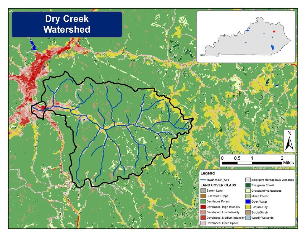
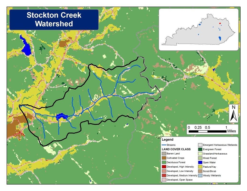
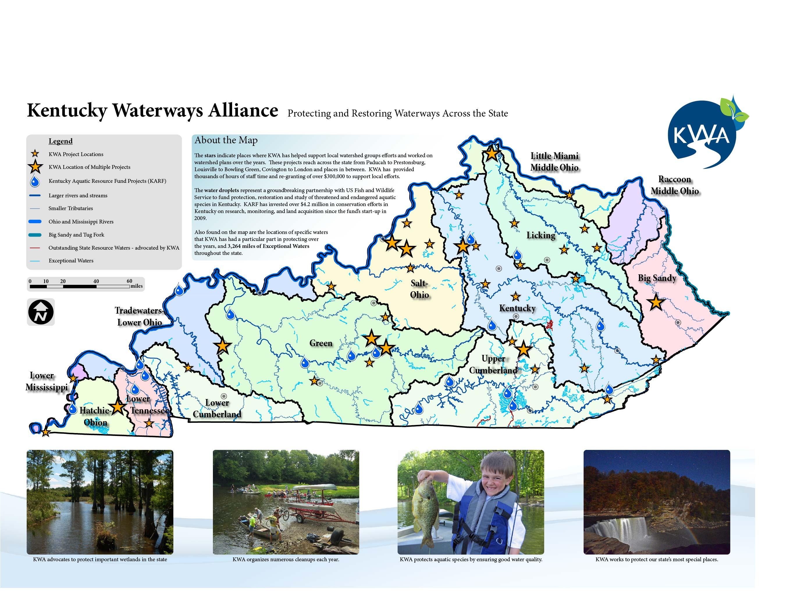
We’re big on visuals and maps, and wanted to provide all our members and the public access to some of the data we track on a daily basis, as well as access to maps that show what we do and where we do it!

Check out the different categories of maps below–click on any image for a larger version!
Current Watershed Planning Project Locations

Picture
Picture
Picture
Picture

Completed Watershed Planning Projects

Picture
Picture
Picture
Picture

Maps from Partners

PDF maps by the Kentucky State Nature Preserves Commission, showing the change from Pre-Settlement Land Cover to the Current Land Cover in Kentucky (KY_ThenAndNow)

Picture

Kentucky Wetlands Inventory – US Fish & Wildlife Services (Google Earth File)

Picture